


General
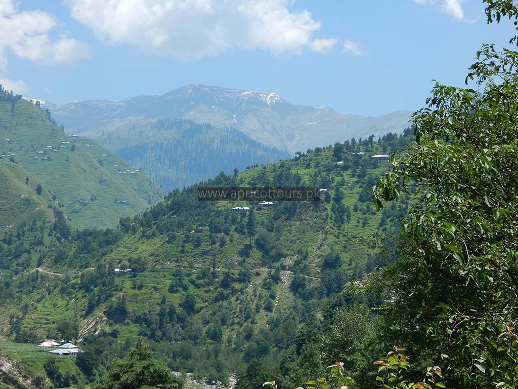
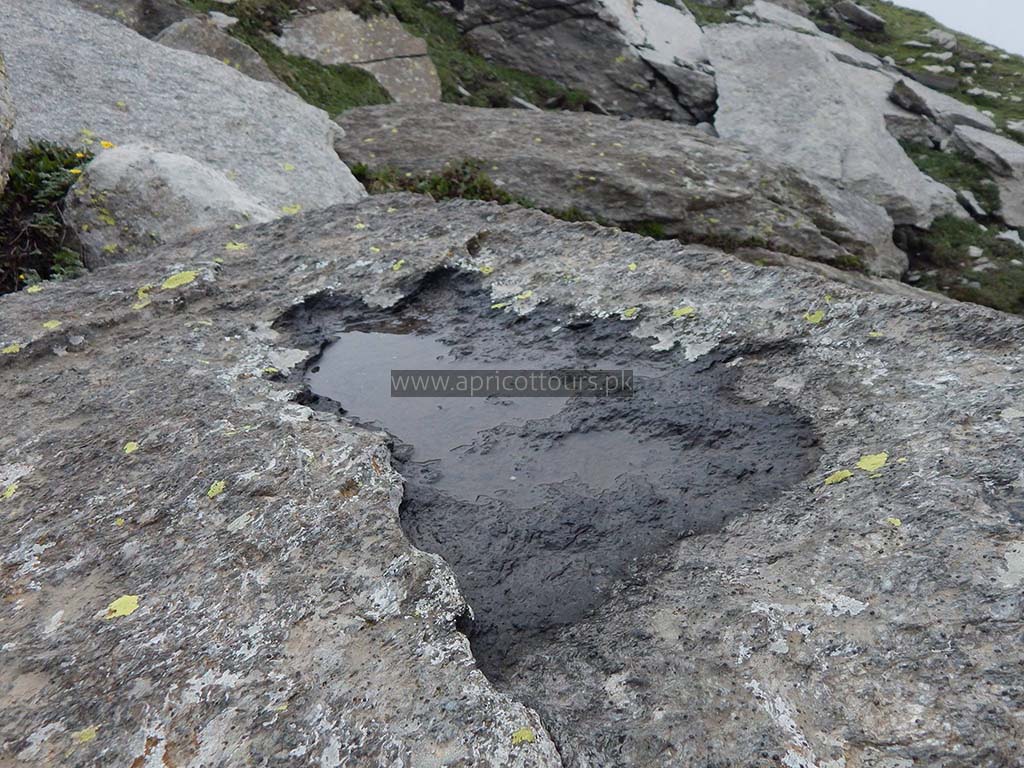
Musa Ka Musala stands at an altitude of 4080 meters at the junction of Siran and Kaghan Valleys in Himalaya. The name translates to “Moses’ Mat” which has different stories associated with it. While some believe it to be named after a local shepherd with the name of Musa who used to pray at the peak, some even attribute it to the prophet Moses. At the top, there is a Shrine made up of different stones and marked with colorful flags. Its’ status has always been debatable whether, it is a peak or plateau.
Musa ka Musala peak can be attempted using many routes. We use the conventional Munda Gucha Route as it is more established and its easier to arrange logistics on this route.
You first need to reach Shinkiyari ( a town up in the north of Manshera ), and from there further head to Munda Gucha.
Munda Gucha village is where your journey actually begins. You can hire a guide + donkey here who will guide you up to the mountain and also carry logistics like food, tents etc.
Itinerary
Day 1
Arrival in Islamabad. Drive to Manda Gucha via Shinkiari
Day 2
Manda Gucha → Jachha ( 3.2 Kilometers ) (34 Minutes Jeep)
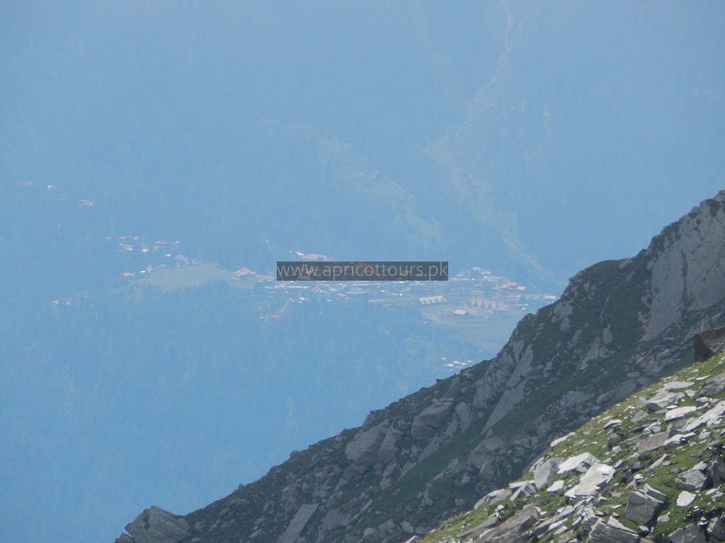
Manda Gucha (Elevation 1614 meters) is a small village. The melted road ends here in the market. There are small restaurants and tea houses. You can have a decent breakfast here before starting your trek.
From Manda Gucha, you can either hire a 4×4 Jeep which will take you to Jachha, or otherwise walk the jeep path. A walk on this jeep trek takes around 1 hour. Jeep ride will take approx. 30 minutes.
Jachha → Dhor Camp Site ( A.K.A Dhor Bridge ) ( 4.8 Kilometers) ( 1 Hour 43 Minutes on foot )
Once you reach Jachha, either by walking or in a jeep, this is where you actually get on your feet and get ready for moving uphill.
Jachha is at 1823 meters elevation. There is nothing interesting here. You just need to cross a small water stream and start the trek.
Dhor → Jabbad Meadow ( 4.5 Kilometers) ( 3 Hours on foot )
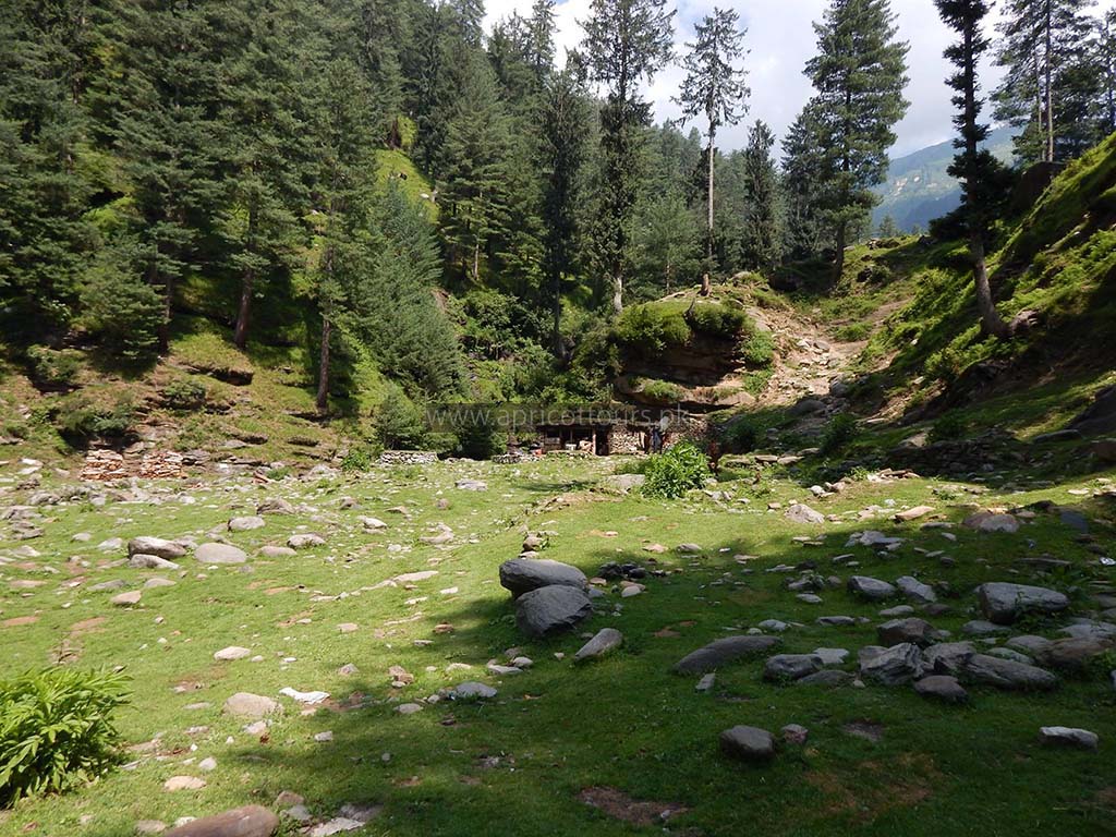
Dhor is a bigger village, and just after the village that you will be able to see on your left along the river, you will reach the Dhor camp site, which is a little flat land, and a bridge that you can’t miss. Its a good place to rest for a while.
Dhor Bridge is at 1989 meters elevation. From here you have two routes to Jabbad Meadow.
You can either cross the big stream, and climb up the steep mountain, which will be a 4.6 Kilometer trek. In this case you will NOT be crossing the Dhor bridge.
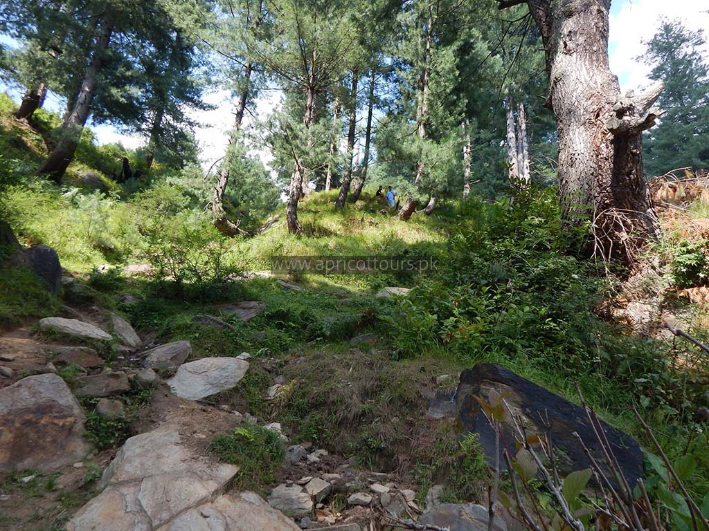
The second route seems to be a bit longer but is actually 4.5 kilometers. This path has an average of 16% grade elevation ( which is still quite tough, but easier than the first route that goes straight uphill ). You get on this path by crossing the Dhor bridge. While on this path, you will move through a small village called “Nabi”. You will mostly move through dense shrubs and trees and will reach a village called Bakki.
We took the second route, which seemed quite doable. Our friends who have attempted the first route state it is more difficult and tiresome.
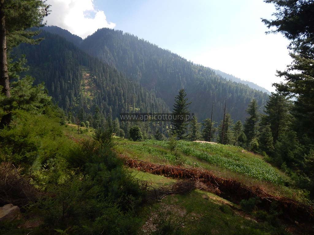
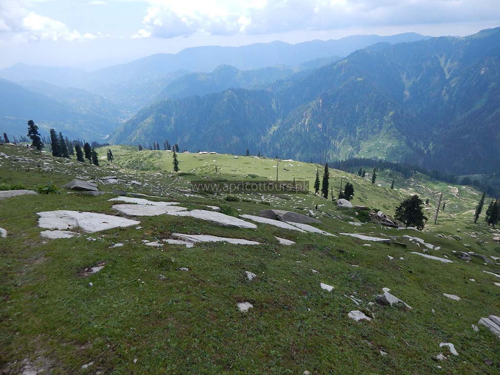
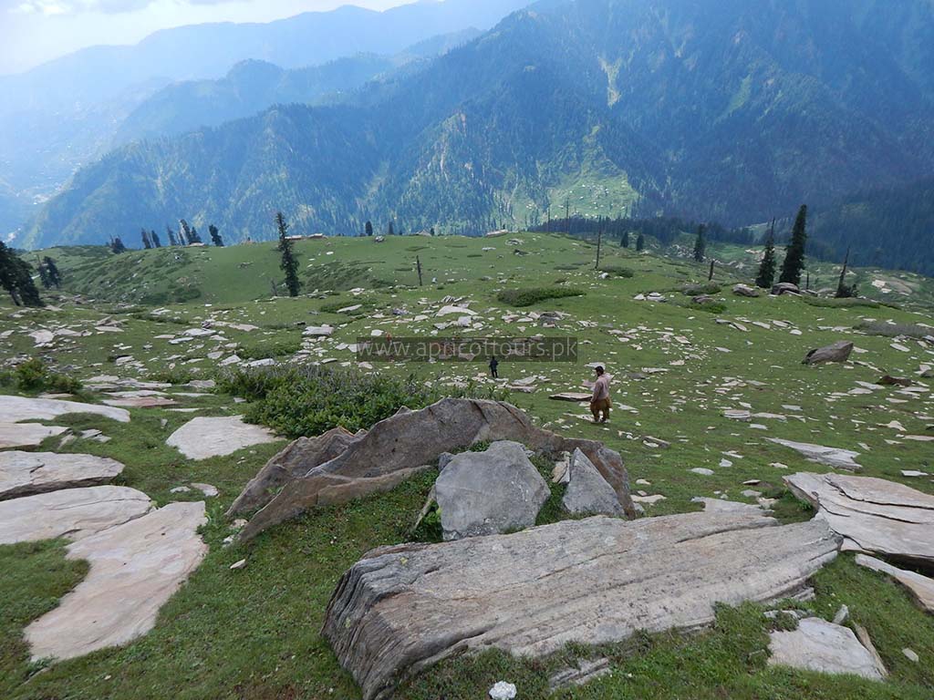
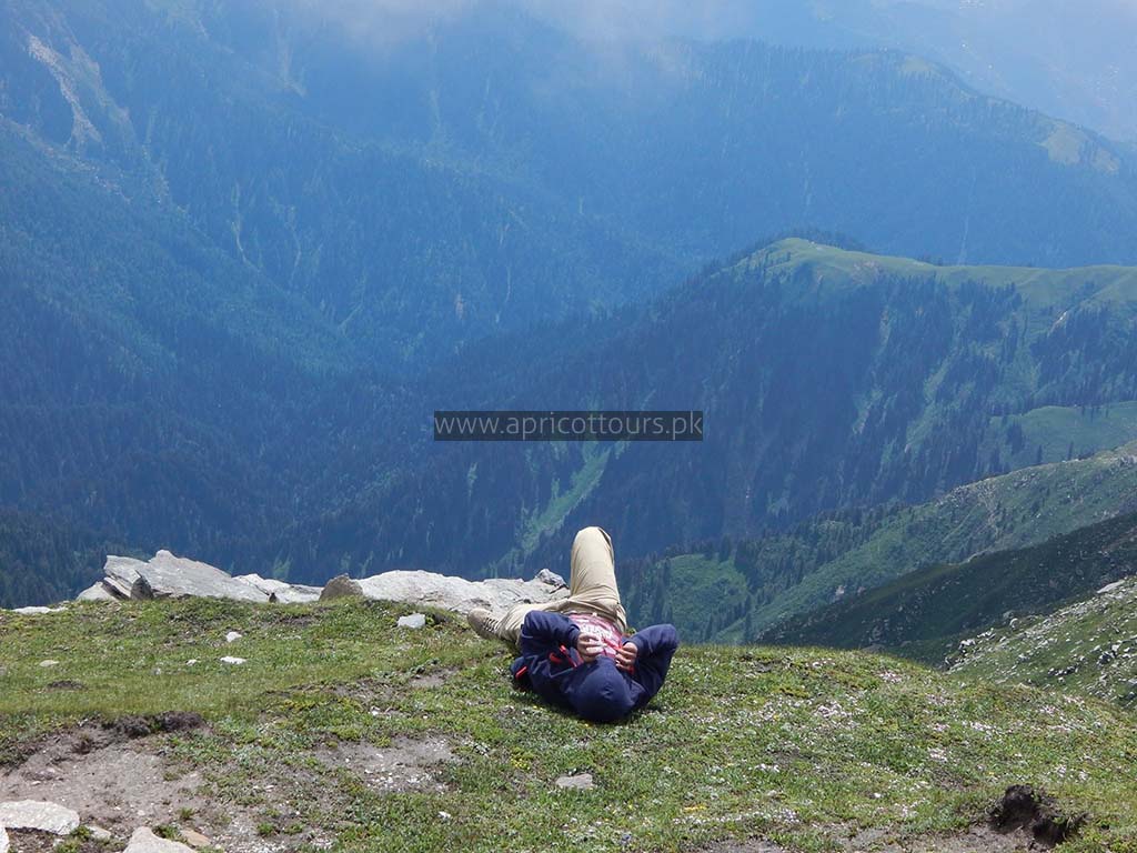
Jabbad is a small and nice meadow. Definitely a place to take a break and some photos. Elevation is 2683 meters.
Jabbad Meadow → Khodi Meadow ( 2.1 Kilometers) ( 1 Hour 17 Minutes on foot )
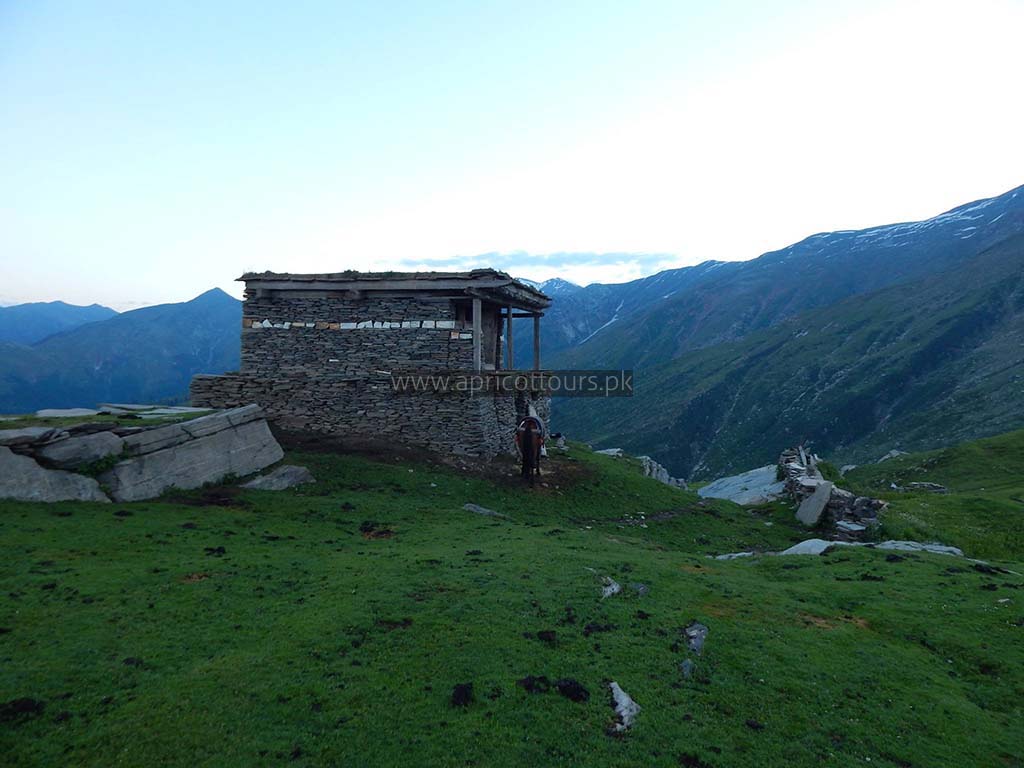
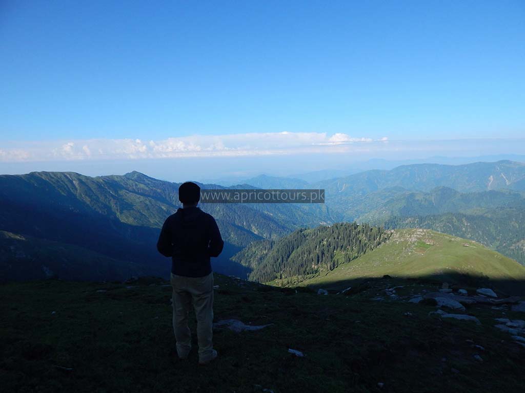
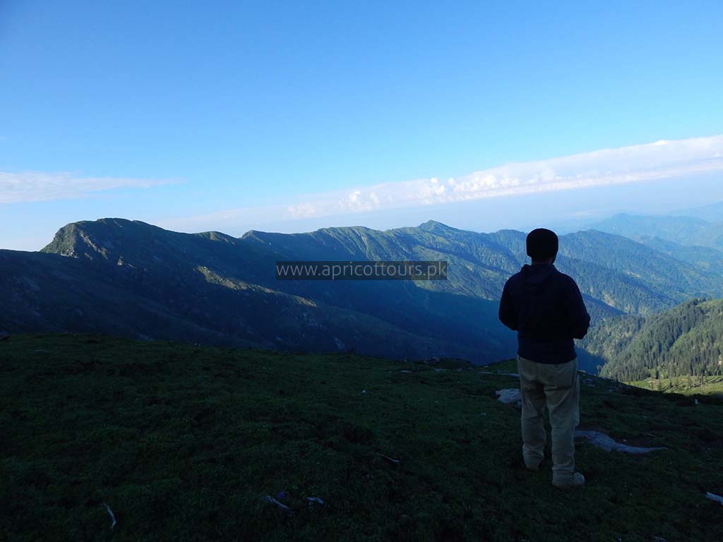
Jabbad to Khodi is a nice scenic trek of 2.1 kilometers. You get a mesmerizing view of Khanda Peak ( also known as Khanda K2 ) on your left almost all the time. Your pass through small meadows and grass fields and finally reach the beautiful Khodi village / Khodi Meadow at 2935 meters above sea level. This is where you will end your Day 1 and camp for the night. This is also the place where your donkey will be parked and unloaded.
Day 3
Khodi Meadow → Gali ( 1.3 Kilometers ) ( 38 Minutes on foot )
Early next morning, you will leave your camp after a breakfast, and head towards Gali. It is a steep 17% grade slope. It will be covered with ice during winters till late April. You will need ice axe to navigate through this patch. Studs on your boots or crampons can be effective too.
Its takes us 38 minutes to reach Gali. In colder weather it might take twice or thrice the time.
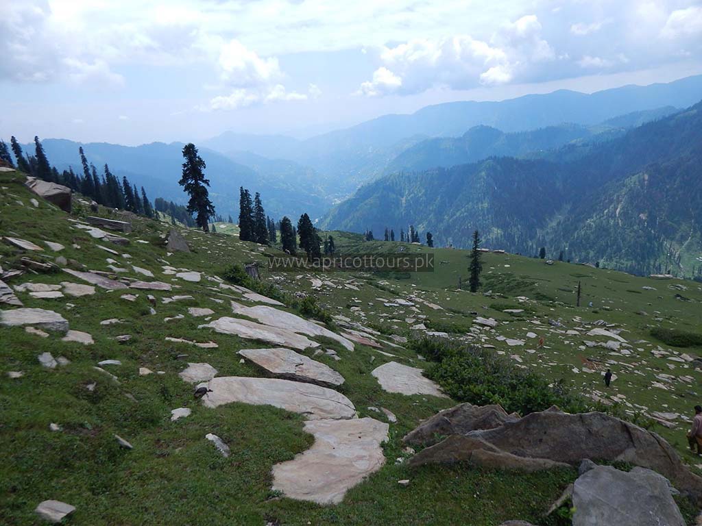
Gali is the saddle of the mountain and the summit push starts from here. Gali is at 3175 meters above sea level.
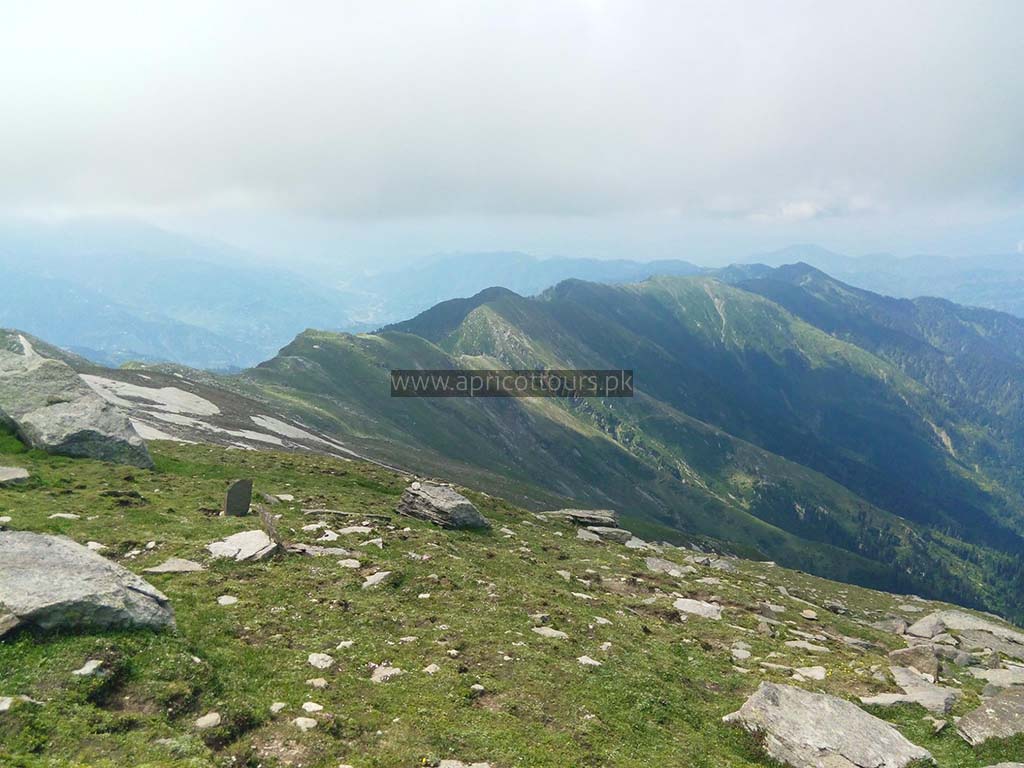
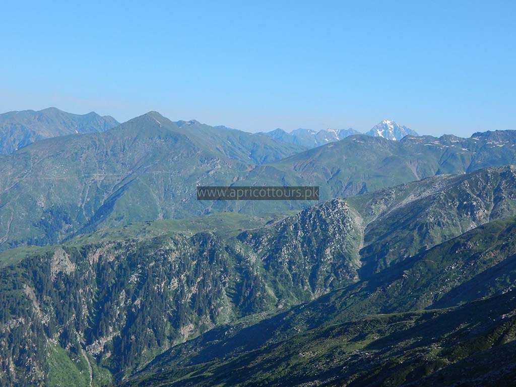
From here onwards you will be able to see the ThandiGali Ridge on your right all the time, upto the summit.
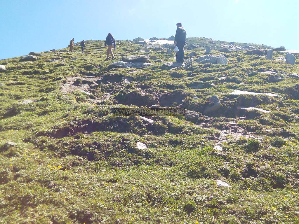
Gali → Pehli Ziyarat ( “The first shrine”) ( 3.8 Kilometers ) ( 3 Hours 38 Minutes on foot )
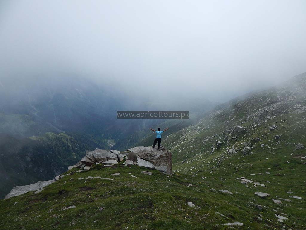
From Gali the steep starts, so does the snow even in the summers. Remember there are two “Ziyarats” ( Shrines ). Both are stacked up stones, and look similar. The one of the summit is called the Ziyarat itself, and the one 600 meters before the summit is called the “Pehli Ziyarat”.
From Gali, while moving up, you will obviously first bump into the Pehli Ziyarat, which is a good place to take a longer rest and photos. It took us 3 hrs 38 minutes to reach it. The elevation of Pehli Ziyarat is 3935 meters.
Pehli Ziyarat → Summit ( 0.61 Kilometers ) ( 39 Minutes on foot )
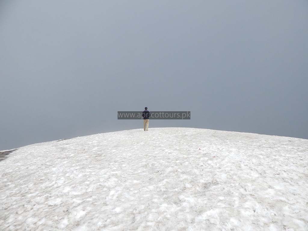
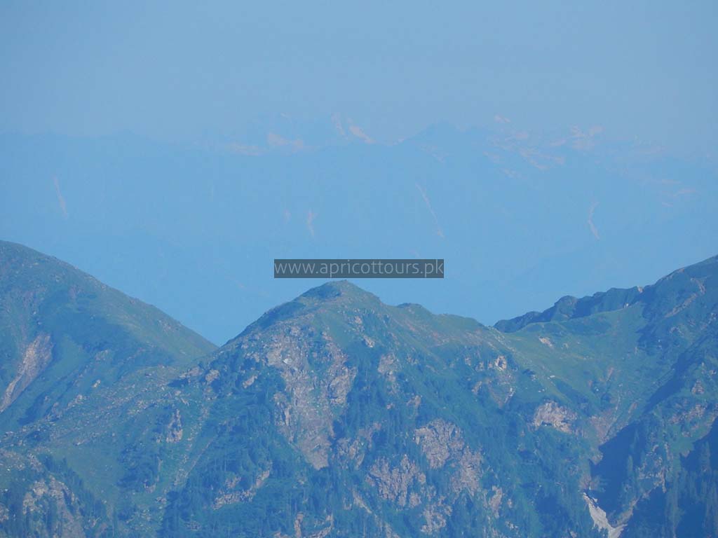
From Pehli Ziyarat starts the final push to the summit against a steep 22% grade slope, mostly snow covered. In winters its completely snow packed. Reaching the summit opens up an awe striking view of the neighboring snow covered mountains. You can see the Makda Peak in the distance. The summit on my GPS read 4079 meters when placed on the snow. ( It is officially claimed to be 4080 meters. While standing, and holding the device in hand, it read 4081 meters.)
Summit → Khodi Camp Site ( 5.7 Kilometers ) ( Approx. 4 hours on foot downhill )
From the summit till Khodi camp site, it took us approximately 4 hours, all down hill. Camp at the same Khodi meadow for the night.
Day 4
Khodi Meadow → Jachha ( Approximately 9 Kilometers ) ( 5 Hours 30 Minutes on foot )
Day4 morning, get up, pack up the camps, load the donkeys and prepare for descent. Our guide took us from a short cut towards the end of the trek. We used the route 1 joining Bakki to Dhor, which was quicker to descent. Also towards the very final patch approaching Jachha, I personally took a short cut which saved me a couple of kilometers.
From Jachha took the Jeeps back to Manga Gucha. Had lunch there and headed home in chartered transport.
Drive to Islamabad
Thanks to Taufeeq
